


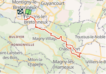

9,7 km | 11,6 km-effort

Benutzer


Kostenlosegpshiking-Anwendung
 SityTrail
IGN / Geografische Institute
SityTrail World
Die Welt öffnet sich für Sie
Tour Laufen von 17,3 km verfügbar auf Île-de-France, Yvelines, Voisins-le-Bretonneux. Diese Tour wird von huguesb vorgeschlagen.
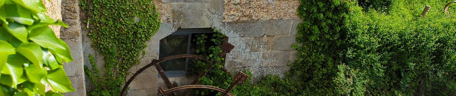
vu l'extension de l'ensemble de la ferme, et la vieille roue du moulin.
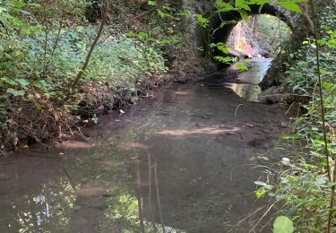
Un nouveau chemin est en cours d'aménagement le long de la Mérantaise


Wandern

Wandern

Wandern

Wandern
Wandern
Wandern

Wandern
Wandern

Mountainbike