


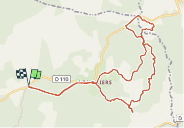

10,3 km | 13,8 km-effort

Benutzer GUIDE


Kostenlosegpshiking-Anwendung
 SityTrail
IGN / Geografische Institute
SityTrail World
Die Welt öffnet sich für Sie
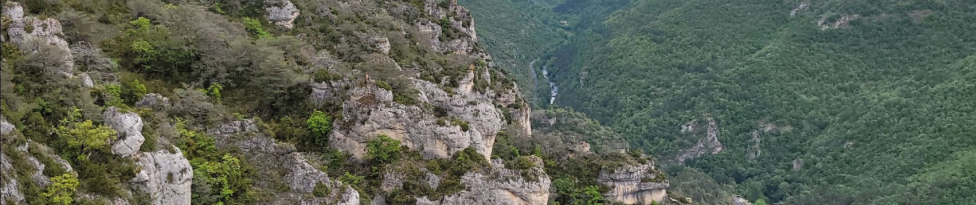
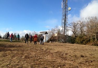
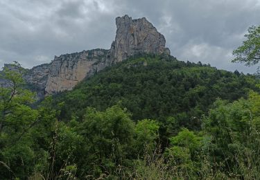
Tour Wandern von 14,1 km verfügbar auf Okzitanien, Aveyron, Millau. Diese Tour wird von amiral13 vorgeschlagen.
Randonnée effectuée le 18 mai 2023
nous avons fait une pause de plus de 2 heures, la durée peut donc être réduite subtantiellement.


Wandern

Wandern
Elektrofahrrad
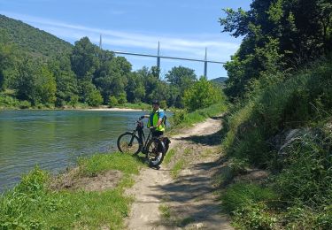
Elektrofahrrad

Wandern
Wandern

Wandern
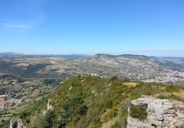
Wandern

Laufen