


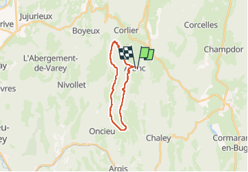

12,8 km | 18 km-effort


Benutzer


Kostenlosegpshiking-Anwendung
 SityTrail
IGN / Geografische Institute
SityTrail World
Die Welt öffnet sich für Sie
Tour Reiten von 19 km verfügbar auf Auvergne-Rhone-Alpen, Ain, Aranc. Diese Tour wird von xhakon vorgeschlagen.
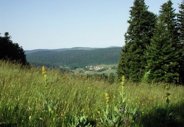
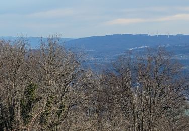
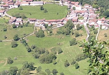
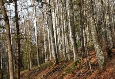
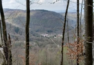
Belle boucle à travers bois et collines.
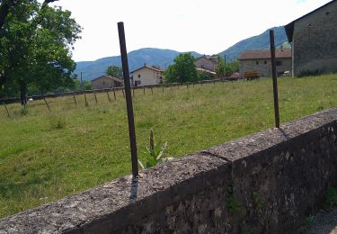
Dommage, beaucoup de route et chemins empierrés... mais heureusement souvent des bas côtés en herbe.
Mountainbike

Mountainbike
Wandern

Pferd
Wandern
Wandern
Wandern
Wandern

Wandern