


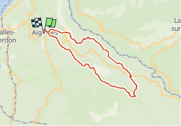


16,8 km | 31 km-effort


Benutzer GUIDE


Kostenlosegpshiking-Anwendung
 SityTrail
IGN / Geografische Institute
SityTrail World
Die Welt öffnet sich für Sie
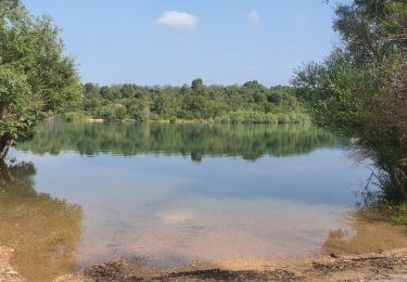
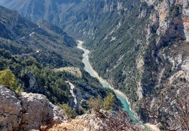
Tour Wandern von 18 km verfügbar auf Provence-Alpes-Côte d'Azur, Var, Aiguines. Diese Tour wird von jouans vorgeschlagen.
Sortie REV Michel Touzan du 14/05/2023 à ne pas renouveler par temps humide


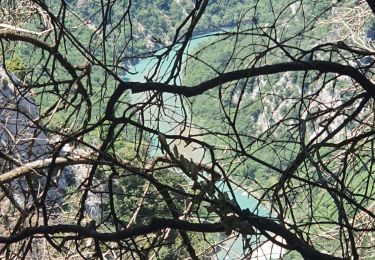
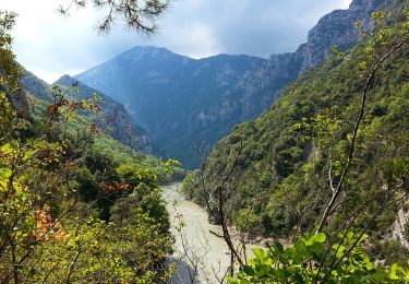
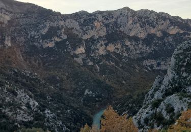
28 Fotos insgesamt. Klicken Sie auf ein Foto, um sie alle in der Galerie zu sehen.

Wandern
Wandern

Wandern
Wandern
Wandern
Wandern
Wandern
Wandern
Wandern