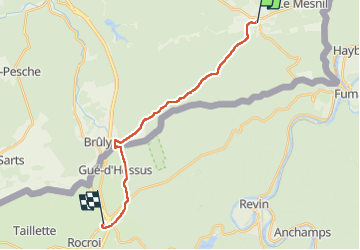

6,4 km | 9,1 km-effort


Benutzer


Kostenlosegpshiking-Anwendung
 SityTrail
IGN / Geografische Institute
SityTrail World
Die Welt öffnet sich für Sie
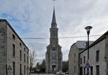
Tour Wandern von 16,5 km verfügbar auf Wallonien, Namur, Viroinval. Diese Tour wird von thomarche vorgeschlagen.
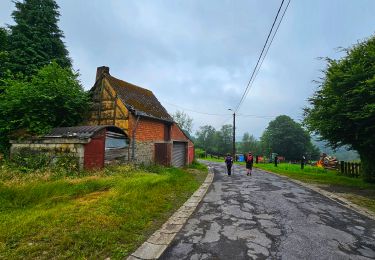
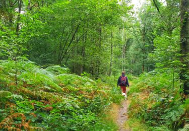
Traversée au plus profond des bois jusqu’au Bruly. Beau décrochage de tout bruit mécanique. Plus aucun réseau téléphonique. Le pied. Choc arrivée autoroute d’autant plus grand… Savoir revenir des sommets…

Wandern

Wandern
Wandern
Wandern
Wandern

Wandern
Zu Fuß
Zu Fuß