


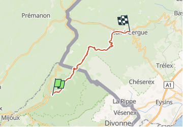

8 km | 15,4 km-effort


Benutzer


Kostenlosegpshiking-Anwendung
 SityTrail
IGN / Geografische Institute
SityTrail World
Die Welt öffnet sich für Sie
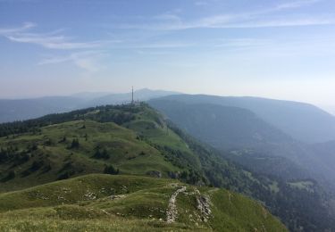
Tour Wandern von 15 km verfügbar auf Auvergne-Rhone-Alpen, Ain, Mijoux. Diese Tour wird von DanielROLLET vorgeschlagen.
2023 05 07 - 8h50 à 15h00
Temps couvert et frais, pas de pluie
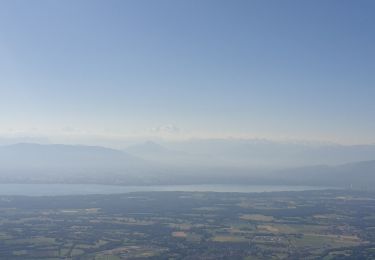
Pique-nique au chalet des apprentis (superbe panorama sur le chalet de la Dôle et sur les falaises en dessous de la Dôle
Fait le choix (à tort) de descendre par le circuit de l'Archette (15mn court) au lieu du circuit du Vieux Château
Quelques deltas entre la trace et le tracé sur la carte en Suisse.
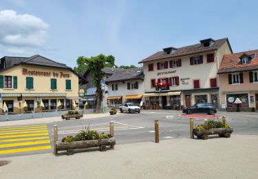
Superbe chambre d'hôtes à Saint Cergue (une suite pour 120,00€ quand-même)
18 770m 700m si départ col de la Faucille

Zu Fuß

Laufen

Wandern
Radtourismus
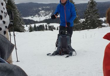
Schneeschuhwandern
Wandern
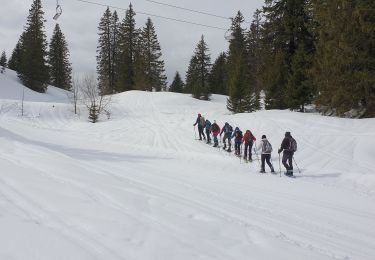
Schneeschuhwandern

Schneeschuhwandern
Wandern