103 km | 135 km-effort
rafo ho
machafla
Benutzer
Länge
17,4 km
Maximale Höhe
943 m
Positive Höhendifferenz
427 m
Km-Effort
23 km
Min. Höhe
732 m
Negative Höhendifferenz
427 m
Boucle
Ja
Erstellungsdatum :
2023-05-08 06:29:30.096
Letzte Änderung :
2023-05-08 13:10:47.969
4h10
Schwierigkeit : Medium
Kostenlosegpshiking-Anwendung
Über SityTrail
Tour Wandern von 17,4 km verfügbar auf Okzitanien, Aveyron, Alrance. Diese Tour wird von machafla vorgeschlagen.
Beschreibung
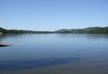
rando gourmande Alrance
Ort
Land:
France
Region :
Okzitanien
Abteilung/Provinz :
Aveyron
Kommune :
Alrance
Standort:
Unknown
Gehen Sie:(Dec)
Gehen Sie:(UTM)
474806 ; 4886485 (31T) N.
Kommentare
Touren in der Umgebung
Ronde des lacs du Levezou
Zu Fuß
Sehr schwierig
Auriac-Lagast,
Okzitanien,
Aveyron,
France
30h 36min
Ja
Circumlacustre Villefranche-de-Panat
Zu Fuß
Einfach
Alrance,
Okzitanien,
Aveyron,
France
10,2 km | 11,7 km-effort
2h 39min
Ja
Villefranche de Panat
Wandern
Einfach
(2)
Villefranche-de-Panat,
Okzitanien,
Aveyron,
France
10,4 km | 11,9 km-effort
2h 42min
Ja
Villefranche de Panat à Salles Curan
Wandern
Sehr schwierig
Villefranche-de-Panat,
Okzitanien,
Aveyron,
France
24 km | 31 km-effort
4h 53min
Nein
randonnée Villefranche de panat
Wandern
Schwierig
Villefranche-de-Panat,
Okzitanien,
Aveyron,
France
10,2 km | 12,7 km-effort
3h 10min
Ja
lac de Villefranche de panat
Wandern
Medium
(1)
Villefranche-de-Panat,
Okzitanien,
Aveyron,
France
10,3 km | 11,8 km-effort
1h 46min
Ja
Bosc Marty
Wandern
Einfach
Villefranche-de-Panat,
Okzitanien,
Aveyron,
France
4,6 km | 5,6 km-effort
1h 15min
Ja
St Jean le froid
Mountainbike
Sehr schwierig
Villefranche-de-Panat,
Okzitanien,
Aveyron,
France
34 km | 44 km-effort
3h 7min
Ja
Ville franche de Panat
Wandern
Medium
Villefranche-de-Panat,
Okzitanien,
Aveyron,
France
10,4 km | 11,9 km-effort
2h 50min
Ja