


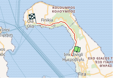

12,8 km | 19,4 km-effort


Benutzer


Kostenlosegpshiking-Anwendung
 SityTrail
IGN / Geografische Institute
SityTrail World
Die Welt öffnet sich für Sie
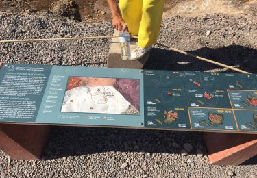
Tour Wandern von 8,1 km verfügbar auf Ägäis, Regionalbezirk Thira, Δημοτική Ενότητα Θήρας. Diese Tour wird von dawed311 vorgeschlagen.
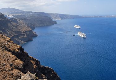
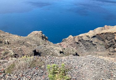
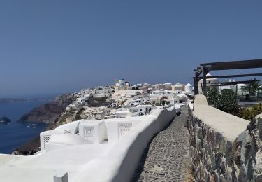
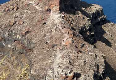
Randonnée sur le haut de la caldeira de Santorin.
Magnifique randonnée faite en famille, sans aucun danger.
Ne pas oublier d'aller visiter le rocher de Skaros, notamment au coucher du soleil, bien moins fréquenté qu'Oia et tout aussi beau.
Wandern
Wandern
Wandern
Wandern
Wandern

sport
Wandern

Motorboot
Flugzeug