


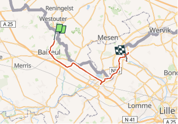

24 km | 30 km-effort

Benutzer


Kostenlosegpshiking-Anwendung
 SityTrail
IGN / Geografische Institute
SityTrail World
Die Welt öffnet sich für Sie
Tour Wandern von 32 km verfügbar auf Nordfrankreich, Nord, Bailleul. Diese Tour wird von jeff2 vorgeschlagen.
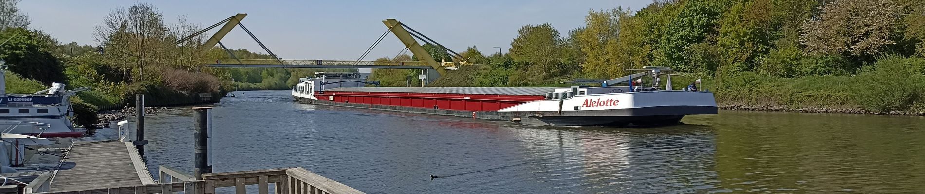
Nous longeons la frontière, chemin de Halage le long de la Lys, puis de la Deule.
La capitainerie de Deulemont, nous héberge, grâce à la Mairie.
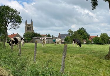
Belle balade.
Beau Pays.
Le gens du nord...


Wandern

Wandern

Zu Fuß

Wandern

Motor
Wandern

Wandern

Wandern
Wandern