


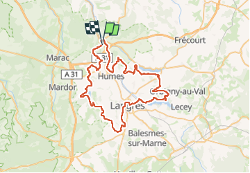

26 km | 33 km-effort


Benutzer


Kostenlosegpshiking-Anwendung
 SityTrail
IGN / Geografische Institute
SityTrail World
Die Welt öffnet sich für Sie
Tour Elektrofahrrad von 68 km verfügbar auf Großer Osten, Haute-Marne, Rolampont. Diese Tour wird von zombie52 vorgeschlagen.
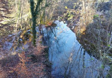
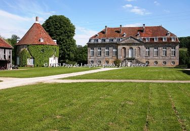
Rolampont - Chanoy - St Martin - St Ciergues - Perrancey - Sts Geosmes - Langres - La Liez - Bannes - Charmes - Hûmes - Rolampont

Wandern
Mountainbike
Mountainbike

Fahrrad
Wandern

Elektrofahrrad

Mountainbike
Mountainbike
Mountainbike