


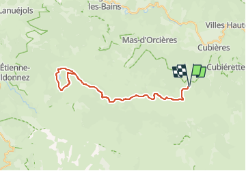

38 km | 47 km-effort

Benutzer


Kostenlosegpshiking-Anwendung
 SityTrail
IGN / Geografische Institute
SityTrail World
Die Welt öffnet sich für Sie
Tour Elektrofahrrad von 31 km verfügbar auf Okzitanien, Lozère, Cubières. Diese Tour wird von asclier0 vorgeschlagen.
Grands espaces et sous bois. accessible aux familles.
Très roulant dans l'ensemble.
Descente vers l'étang caillouteuse mais courte.
Pour le printemps ou l'automne. L'été, gare aux coups de soleil...
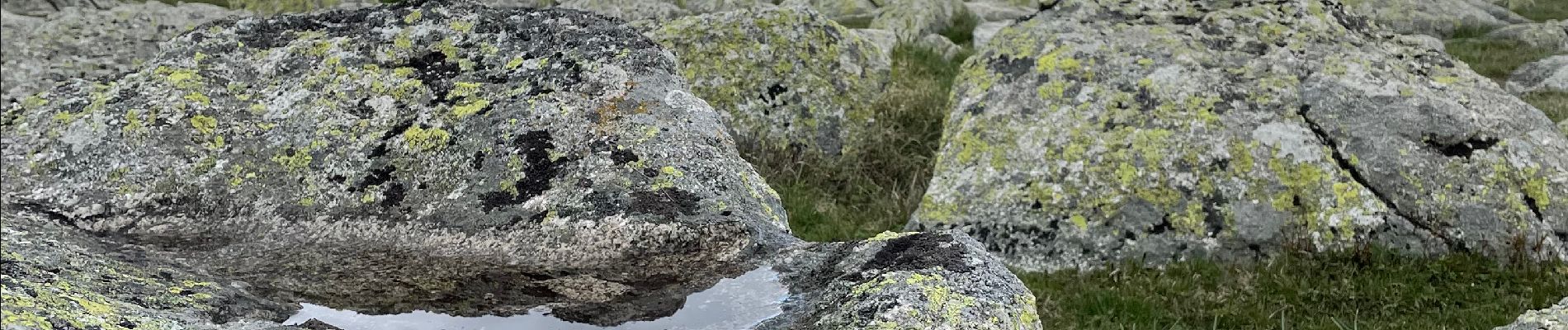
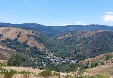
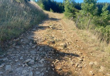
Photos fin avril


Mountainbike

Wandern

Wandern

Wandern

Wandern

Wandern

Wandern
Wandern
Mountainbike