


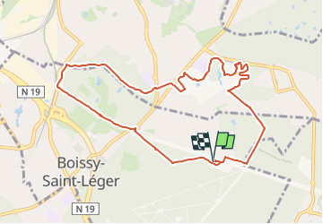

13,5 km | 15,2 km-effort


Benutzer GUIDE


Kostenlosegpshiking-Anwendung
 SityTrail
IGN / Geografische Institute
SityTrail World
Die Welt öffnet sich für Sie
Tour Wandern von 9,7 km verfügbar auf Île-de-France, Val-de-Marne, Boissy-Saint-Léger. Diese Tour wird von jeanmarcMasson vorgeschlagen.
Départ : Maisons forestières Chevreuil et Bruyères
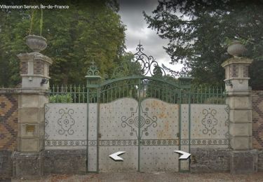
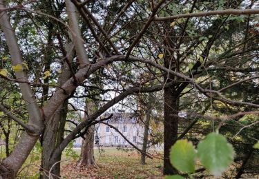
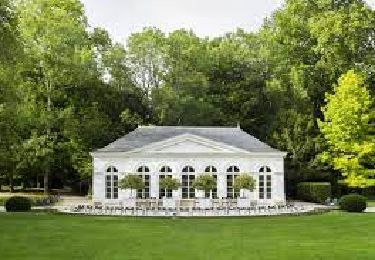
Château Piple
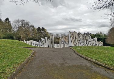
Circuit dans parc municipal des sports de Sucy
Retour : Maisons forestières Chevreuil et Bruyères
Wandern

Wandern
Zu Fuß
Zu Fuß

Wandern

Wandern
Wandern
Wandern
Wandern