


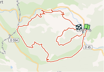

14,2 km | 18,1 km-effort


Benutzer


Kostenlosegpshiking-Anwendung
 SityTrail
IGN / Geografische Institute
SityTrail World
Die Welt öffnet sich für Sie
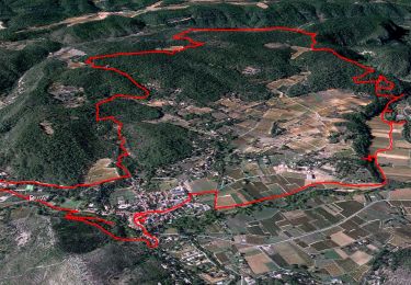
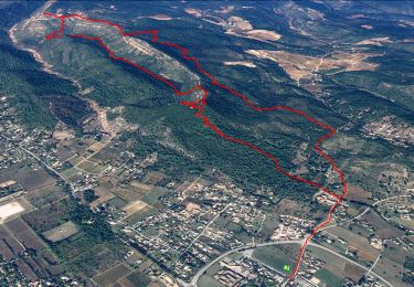
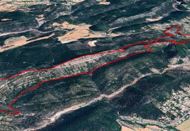
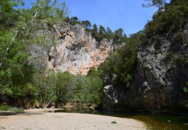
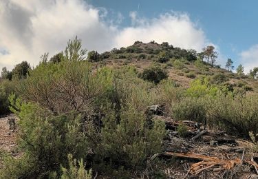
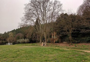
Tour Wandern von 15,7 km verfügbar auf Provence-Alpes-Côte d'Azur, Var, Correns. Diese Tour wird von azzogege vorgeschlagen.
trace corrige passant au depart par le chemin faisant decouvrir le village et le fort GIBRON et reprise de l'itineraire par le trace original et passage par la grotte de sous ville
Wandern
Wandern
Wandern
Wandern
Wandern
Wandern

Wandern

Wandern

Mountainbike