


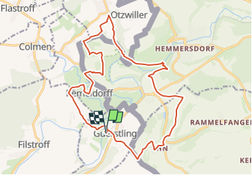

13,5 km | 17,2 km-effort

Benutzer


Kostenlosegpshiking-Anwendung
 SityTrail
IGN / Geografische Institute
SityTrail World
Die Welt öffnet sich für Sie
Tour Reiten von 19,5 km verfügbar auf Großer Osten, Mosel, Gerstlingen. Diese Tour wird von claude-aei vorgeschlagen.
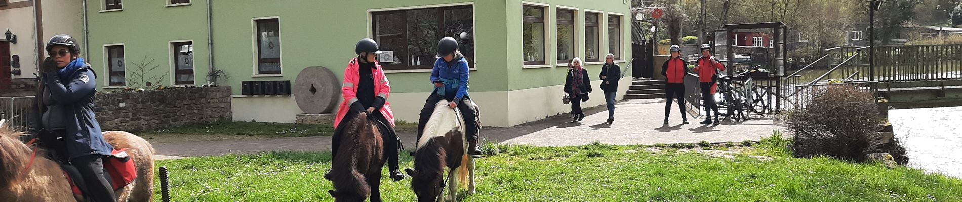
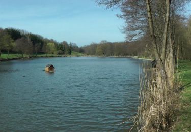
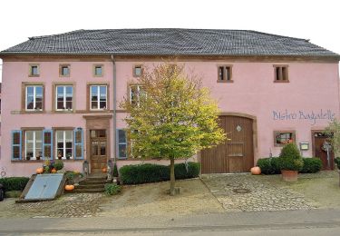
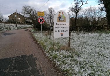
Départ au bord de la Nied, la balade sans frontière, au profil vallonné, nous permis de découvrir une grande diversité de paysages. Pause restauration Zur Wackenmühle

Zu Fuß

Zu Fuß

Mountainbike
Zu Fuß
Wandern

Wandern
Andere Aktivitäten

Wandern

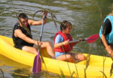
Reiten