


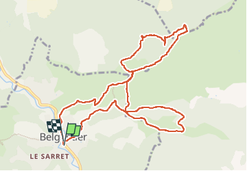

12,6 km | 16,7 km-effort

Benutzer


Kostenlosegpshiking-Anwendung
 SityTrail
IGN / Geografische Institute
SityTrail World
Die Welt öffnet sich für Sie
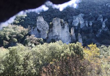
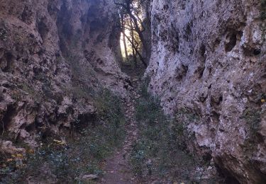
Tour Wandern von 13,4 km verfügbar auf Provence-Alpes-Côte d'Azur, Var, Belgentier. Diese Tour wird von Christiancordin vorgeschlagen.
Belgentier-puits-GR 9-pas de Truébis-pas de Riquier-les Gassins-Truébis-vallon du Réal-les Cabrides-vallon St Michel.


Wandern
Wandern

Wandern

Wandern
Wandern

Wandern

Wandern
Laufen
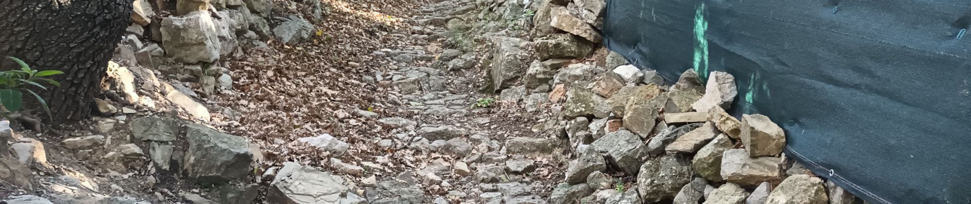
Pfad