


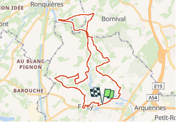

12,8 km | 15 km-effort


Benutzer


Kostenlosegpshiking-Anwendung
 SityTrail
IGN / Geografische Institute
SityTrail World
Die Welt öffnet sich für Sie
Tour Wandern von 21 km verfügbar auf Wallonien, Hennegau, Seneffe. Diese Tour wird von jeangulu vorgeschlagen.
Point de départ : Rue de la Baronne, 60B _ [ 7181].
Organisateur : Unité scout de Feluy - Arthur Sillis - 0495 367 360.
Localité : FELUY.
Province : Hainaut.
Entité : Seneffe.
Remarque : Local scout

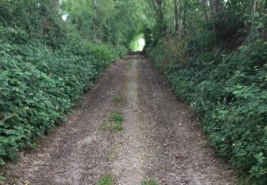
Wandern

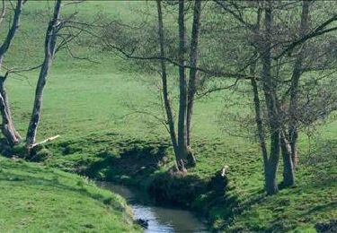
Wandern

Wandern

Wandern

Wandern

Wandern
Wandern

Wandern
Wandern