


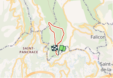

7,5 km | 12 km-effort

Benutzer


Kostenlosegpshiking-Anwendung
 SityTrail
IGN / Geografische Institute
SityTrail World
Die Welt öffnet sich für Sie
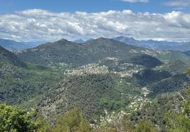
Tour Wandern von 4 km verfügbar auf Provence-Alpes-Côte d'Azur, Seealpen, Falicon. Diese Tour wird von jll7513 vorgeschlagen.
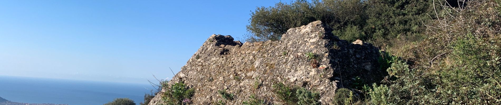
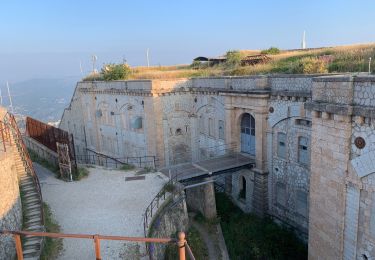
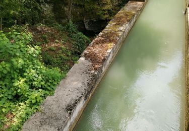
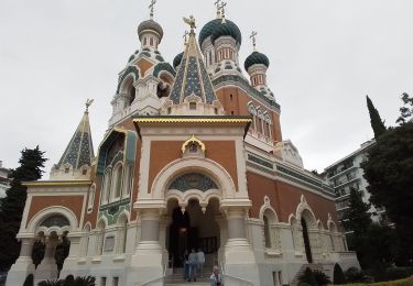
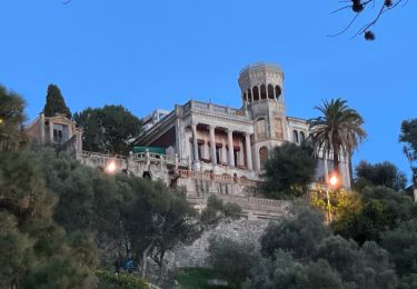
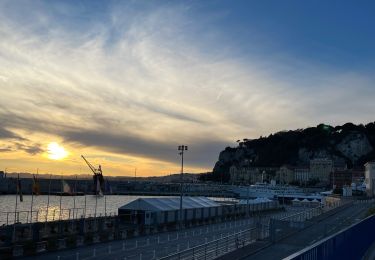
Petite rando bien sympathique. En arrivant de bonne heure , on peut se garer sur la route d´accès. Beaux points de vue sur la ville et sur la mer. Le début du retour se fait sur la route du gaz. .


Wandern

Wandern
Wandern

Wandern

Laufen
Wandern
Wandern
Wandern
Wandern