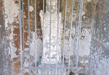
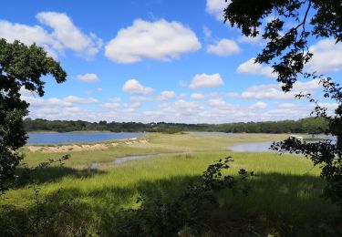
11,4 km | 14,8 km-effort
circuit des chapelles à Plougastel
elianette
Benutzer
Länge
24 km
Maximale Höhe
98 m
Positive Höhendifferenz
424 m
Km-Effort
30 km
Min. Höhe
2 m
Negative Höhendifferenz
424 m
Boucle
Ja
Erstellungsdatum :
2023-03-20 08:17:17.039
Letzte Änderung :
2023-03-20 15:44:09.405
5h37
Schwierigkeit : Medium
Kostenlosegpshiking-Anwendung
Über SityTrail
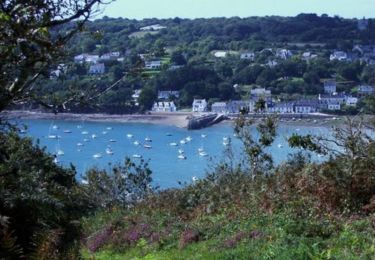
Tour Wandern von 24 km verfügbar auf Bretagne, Finistère, Plougastel-Daoulas. Diese Tour wird von elianette vorgeschlagen.
Beschreibung
kilomètres exact 27km300 avec des petites erreurs de parcours beaucoup de boue
Ort
Land:
France
Region :
Bretagne
Abteilung/Provinz :
Finistère
Kommune :
Plougastel-Daoulas
Standort:
Unknown
Gehen Sie:(Dec)
Gehen Sie:(UTM)
400071 ; 5358605 (30U) N.
Kommentare
Touren in der Umgebung
Tour du passage par la chapelle St Jean
Wandern
Medium
(2)
Plougastel-Daoulas,
Bretagne,
Finistère,
France
3h 4min
Ja
Le Tour de Plougastel par Daoulas
Mountainbike
Schwierig
(1)
Le Relecq-Kerhuon,
Bretagne,
Finistère,
France
49 km | 61 km-effort
3h 30min
Ja
De Brest à Landerneau le long de l'Elorn
Wandern
Schwierig
(1)
Le Relecq-Kerhuon,
Bretagne,
Finistère,
France
21 km | 25 km-effort
5h 0min
Nein
Du Port de Lauberlac'h au Port du Caro
Wandern
Medium
(1)
Plougastel-Daoulas,
Bretagne,
Finistère,
France
14,6 km | 18,6 km-effort
3h 19min
Ja
Relecq-keruon21.02
Wandern
Einfach
(1)
Plougastel-Daoulas,
Bretagne,
Finistère,
France
13,8 km | 17 km-effort
3h 5min
Ja
Course Plougastel
Laufen
Einfach
Plougastel-Daoulas,
Bretagne,
Finistère,
France
8,4 km | 11,1 km-effort
1h 6min
Ja
LOPERHET
Wandern
Medium
Plougastel-Daoulas,
Bretagne,
Finistère,
France
14,3 km | 16,8 km-effort
3h 33min
Ja
Circuit de l'anse de Pen Foul. Logona. 06/07/20
Wandern
Sehr leicht
(1)
Logonna-Daoulas,
Bretagne,
Finistère,
France
5,6 km | 7 km-effort
1h 33min
Nein