


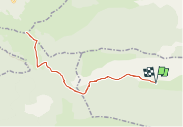

10,4 km | 19,8 km-effort

Benutzer GUIDE


Kostenlosegpshiking-Anwendung
 SityTrail
IGN / Geografische Institute
SityTrail World
Die Welt öffnet sich für Sie
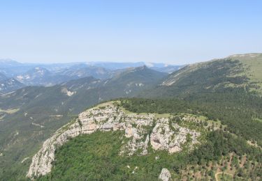
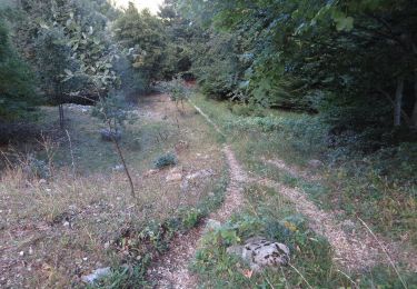
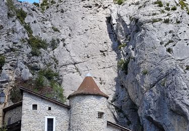
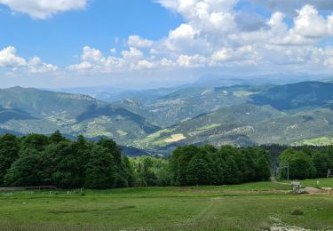
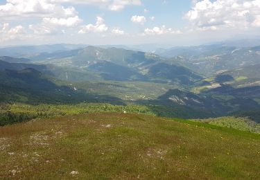
Tour Wandern von 10,3 km verfügbar auf Provence-Alpes-Côte d'Azur, Hochalpen, Sigottier. Diese Tour wird von Marco05 vorgeschlagen.
Randonnée moyenne, pas du tout technisue, mais qui demande une bonne condition physique pour la montée finale.


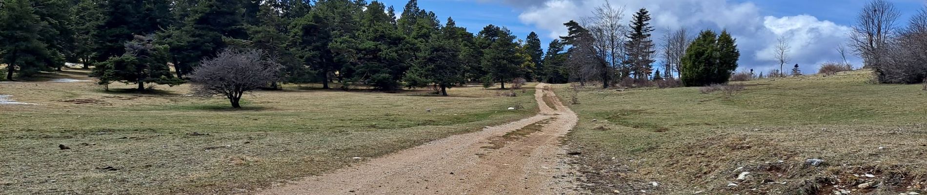
Wandern
Wandern
Wandern
Mountainbike

Mountainbike

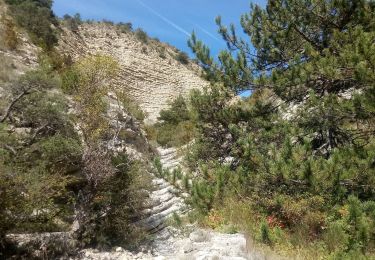
Wandern
Wandern
Wandern
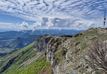
Wandern