


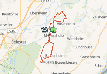

6,2 km | 6,6 km-effort


Benutzer GUIDE


Kostenlosegpshiking-Anwendung
 SityTrail
IGN / Geografische Institute
SityTrail World
Die Welt öffnet sich für Sie
Tour Reiten von 30 km verfügbar auf Großer Osten, Unterelsass, Müttersholz. Diese Tour wird von holtzv vorgeschlagen.
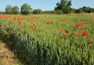
Balade à la journée sous forme d’un huit au départ de Muttersholtz et en passant le matin par Baldenheim et Mussig, retour pour prendre le repas au Nord de Muttersholtz en passant par la digne, et après-midi non loin d’Hilsenheim. Une météo clémente pour retrouver les beaux coins du Ried propices aux allures.
Zu Fuß
Zu Fuß
Wandern
Wandern

Wandern
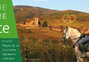
Reiten

Wandern
Wandern

Wandern