


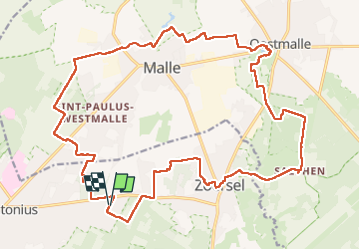

11,2 km | 12,1 km-effort

Benutzer GUIDE


Kostenlosegpshiking-Anwendung
 SityTrail
IGN / Geografische Institute
SityTrail World
Die Welt öffnet sich für Sie
Tour Wandern von 24 km verfügbar auf Flandern, Antwerpen, Zoersel. Diese Tour wird von Charles Lemaire vorgeschlagen.
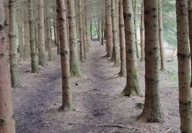
De longs passages en forêt, quelques découvertes de villages
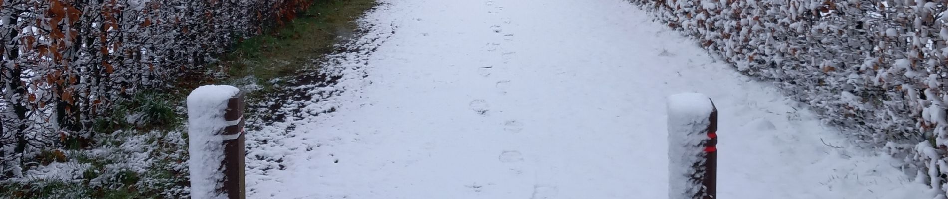
Je vous souhaite de meilleures conditions météo que les nôtres (neige et froid)
Attention s'il fait humide... il y a de l'eau partout...

Zu Fuß
Wandern

Fahrrad

Wandern
Wandern
Wandern
Wandern
Wandern
Wandern