


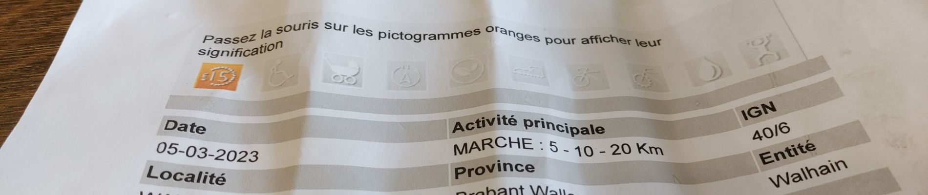
6,6 km | 7,8 km-effort

Benutzer


Kostenlosegpshiking-Anwendung
 SityTrail
IGN / Geografische Institute
SityTrail World
Die Welt öffnet sich für Sie
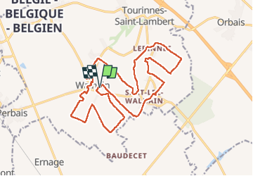
Tour Wandern von 21 km verfügbar auf Wallonien, Wallonisch-Brabant, Walhain. Diese Tour wird von jeangulu vorgeschlagen.
Point de départ : Buvette du foot, chemin de la Boscailles [ 1457 ] _ Walhainp.
Organisateur : Comité Télévie - Camille Verbbaenen - 0473 458 567.
Province : Brabant Wallon.
Entité : Walhain.
Carte IGN : 40/6

Wandern

Wandern
Zu Fuß

Wandern
Wandern
Wandern
Wandern
Wandern
Wandern