


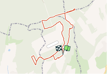

13,3 km | 17,8 km-effort


Benutzer


Kostenlosegpshiking-Anwendung
 SityTrail
IGN / Geografische Institute
SityTrail World
Die Welt öffnet sich für Sie
Tour Nordic Walking von 10,5 km verfügbar auf Großer Osten, Mörthe und Mosel, Eulmont. Diese Tour wird von DanielROLLET vorgeschlagen.
2023 02 28 MND Saulxures 17 participants
9h20 à 11h30
Départ/arrivée "triangle" d'Eulmont
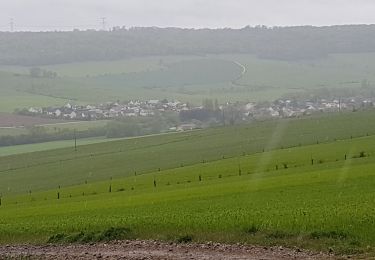
temps ensoleillé mais froid bise

Zu Fuß

Zu Fuß

Zu Fuß
Zu Fuß

Wandern
Wandern

Wandern
Wandern
Wandern