


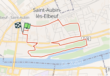

10,7 km | 13,8 km-effort


Benutzer


Kostenlosegpshiking-Anwendung
 SityTrail
IGN / Geografische Institute
SityTrail World
Die Welt öffnet sich für Sie
Tour Wandern von 5,5 km verfügbar auf Normandie, Seine-Maritime, Saint-Aubin-lès-Elbeuf. Diese Tour wird von nicole.reine@wanadoo.fr vorgeschlagen.
départ de l'esplanade de pattensen place de l’hôtel de ville
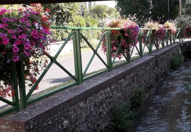
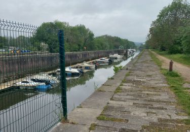
Plaquette du circuit vert avec descriptifs sur le site de la commune
Wandern

Wandern

Wandern

Mountainbike

Wandern
Wandern

Wandern
Wandern
Wandern