


6 km | 10,6 km-effort

Benutzer


Kostenlosegpshiking-Anwendung
 SityTrail
IGN / Geografische Institute
SityTrail World
Die Welt öffnet sich für Sie
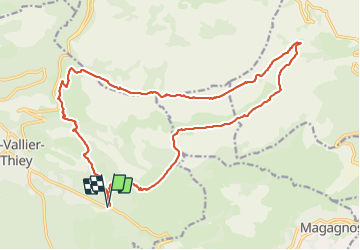
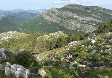
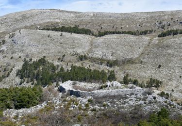
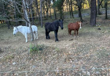
Tour Wandern von 23 km verfügbar auf Provence-Alpes-Côte d'Azur, Seealpen, Saint-Vallier-de-Thiey. Diese Tour wird von ETMU5496 vorgeschlagen.
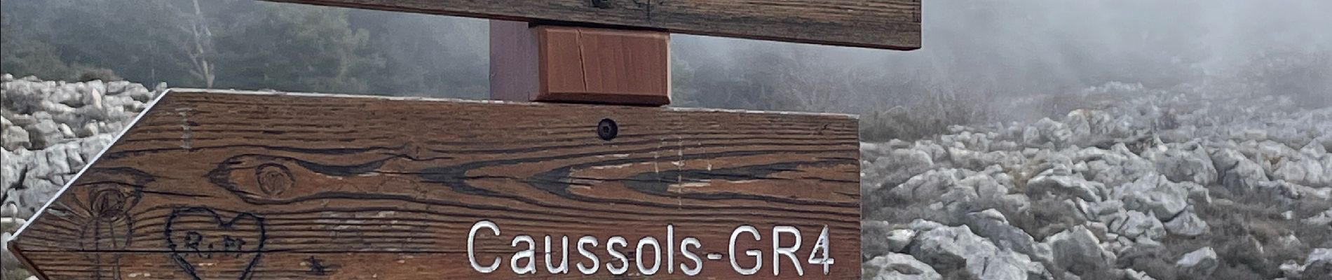
Depuis le Col du Pilon et le col du Ferrié
A signaler une partie bitumée vers le pk 16 sur 2-3 km...
La partie finale pour rejoindre le point de départ emprunte un passage non balisé. Etre vigilant sur la trace
IBP=120


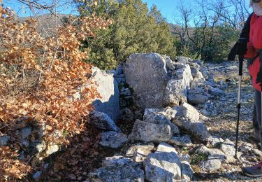
32 Fotos insgesamt. Klicken Sie auf ein Foto, um sie alle in der Galerie zu sehen.

Wandern

Wandern
Zu Fuß

Mountainbike

Wandern
Wandern
Wandern
Wandern
Wandern