


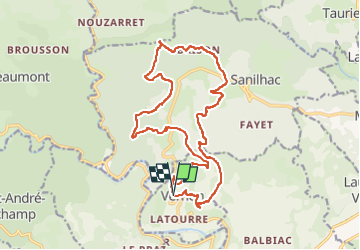

21 km | 34 km-effort

Benutzer GUIDE


Kostenlosegpshiking-Anwendung
 SityTrail
IGN / Geografische Institute
SityTrail World
Die Welt öffnet sich für Sie
Tour Wandern von 19,9 km verfügbar auf Auvergne-Rhone-Alpen, Ardèche, Vernon. Diese Tour wird von thonyc vorgeschlagen.
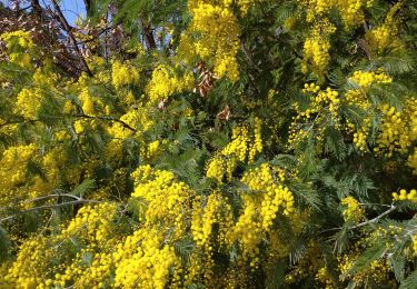
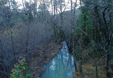
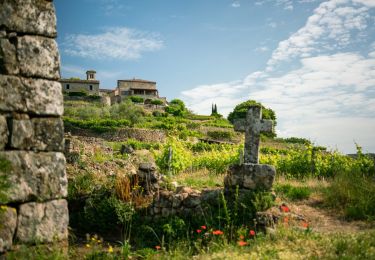
Joli village avec des hameaux espacés, de beaux points de vue sur les terrasses très bien entretenues, des sentiers variés avec une géologie diverse.
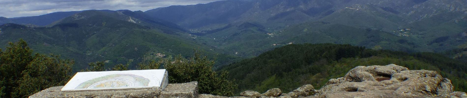
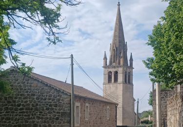
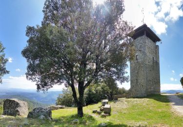
la Tour de Brison avec son panorama à 360°.


Wandern
Wandern
Wandern

Wandern
Wandern
Rennrad
Wandern
Zu Fuß
Wandern