


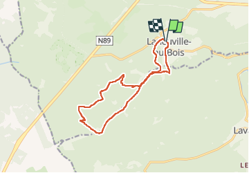

12,3 km | 15,8 km-effort


Benutzer


Kostenlosegpshiking-Anwendung
 SityTrail
IGN / Geografische Institute
SityTrail World
Die Welt öffnet sich für Sie
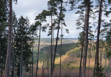
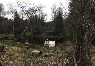
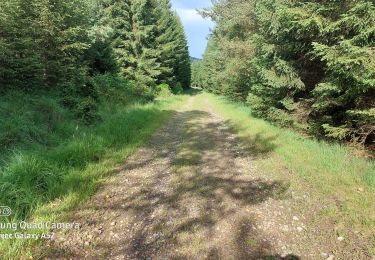
Tour Wandern von 12,8 km verfügbar auf Wallonien, Luxemburg, Tenneville. Diese Tour wird von micheldutilleul vorgeschlagen.
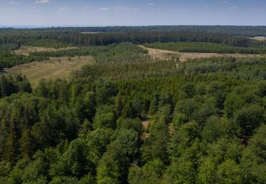
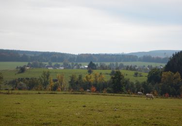
Magnifique balade dans la forêt de Saint Hubert.
Quelques ruisseaux, rivières le long de la balade et un peu de dénivelé.
Wandern
Wandern
Wandern

Wandern
Wandern

Wandern
Zu Fuß
Zu Fuß

Wandern