


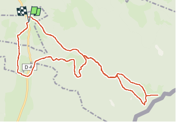

9,1 km | 12,5 km-effort


Benutzer


Kostenlosegpshiking-Anwendung
 SityTrail
IGN / Geografische Institute
SityTrail World
Die Welt öffnet sich für Sie
Tour Schneeschuhwandern von 12,8 km verfügbar auf Burgund und Freigrafschaft, Doubs, Châtelblanc. Diese Tour wird von danielf vorgeschlagen.
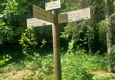
Randonnée empruntant principalement les pistes raquettes G "La Jaique" et O "Maison Michaud".
Certaines portions en "hors-piste" peuvent être difficiles.
Pass balade nécessaire.
Cet itinéraire vous est offert gracieusement par info randonnée - https://www.autre-chemin.be
Wandern
Wandern

Hybrid-Bike
Wandern

Schneeschuhwandern
Wandern

Wandern
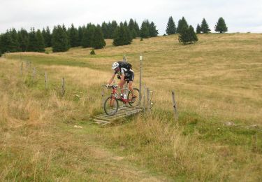
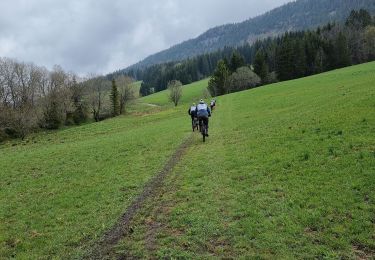
Mountainbike
Wandern