


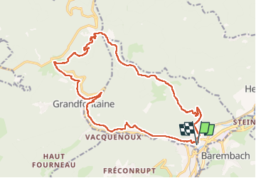


12,6 km | 19,4 km-effort

Benutzer


Kostenlosegpshiking-Anwendung
 SityTrail
IGN / Geografische Institute
SityTrail World
Die Welt öffnet sich für Sie
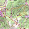
Tour Wandern von 20 km verfügbar auf Großer Osten, Unterelsass, Schirmeck. Diese Tour wird von Bart2015 vorgeschlagen.
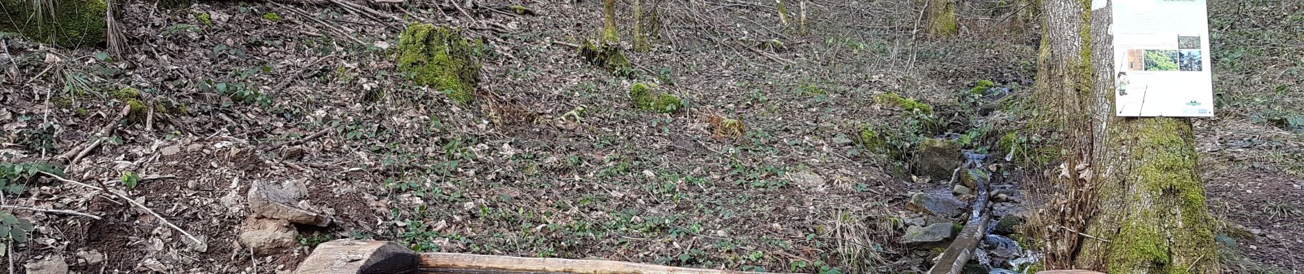
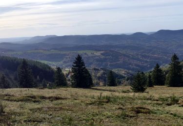
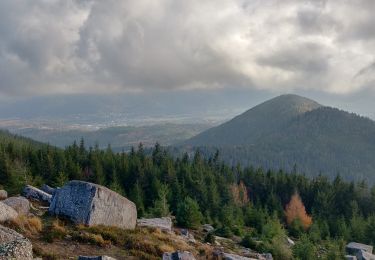
Le site du Donon constitue avec ses 1009 m d'altitude le point culminant des basses-Vosges, à la jonction des provinces alsacienne et lorraine. Dès la préhistoire, parce qu'il est visible de loin, on lui attribue un caractère sacré qui ne le quittera plus. Cette rando vous y conduit par une belle forêt avant de terminer l'ascension qui peut être délicate en hiver si les chemins sont verglacés. Bonnes chaussures et bâtons fortement recommandés. De là-haut la vue est magnifique, peut-être un peu mystique ...
Bonne rando ...


24 Fotos insgesamt. Klicken Sie auf ein Foto, um sie alle in der Galerie zu sehen.

Wandern

Wandern

Wandern
Reiten
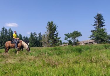
Reiten
Wandern

Reiten
Wandern
Wandern