


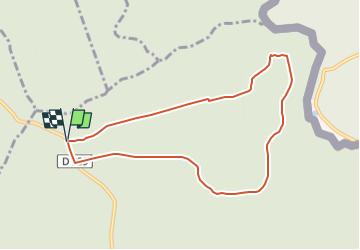

14,4 km | 19,2 km-effort


Benutzer


Kostenlosegpshiking-Anwendung
 SityTrail
IGN / Geografische Institute
SityTrail World
Die Welt öffnet sich für Sie
Tour Nordic Walking von 7,7 km verfügbar auf Großer Osten, Ardennes, Hargnies. Diese Tour wird von denissculier vorgeschlagen.
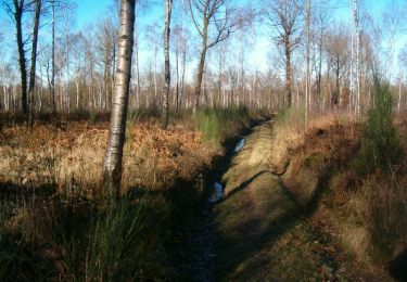
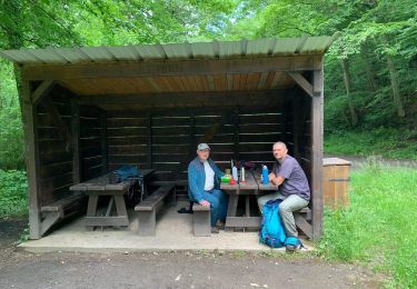
Une randonnée agréable et de faible dénivelé permettant de s’immerger dans le calme et la quiétude de la forêt du plateau ardennais.

Wandern

Wandern
Wandern

Wandern
Wandern
Wandern
Wandern
Wandern
Zu Fuß