


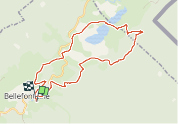

15 km | 21 km-effort


Benutzer


Kostenlosegpshiking-Anwendung
 SityTrail
IGN / Geografische Institute
SityTrail World
Die Welt öffnet sich für Sie
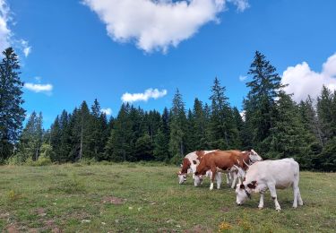
Tour Schneeschuhwandern von 10,4 km verfügbar auf Burgund und Freigrafschaft, Jura, Bellefontaine. Diese Tour wird von cmike39 vorgeschlagen.
Probablement parcouru avec Adeline. Autre parcours avec elle et Daniel, proche du lac de l'Abbaye le 5/02/2023 sur 4 km.

Wandern

Wandern

Wandern
Wandern
Wandern

Hybrid-Bike

Wandern
Wandern
Wandern