


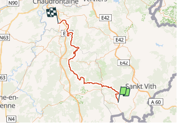

6,6 km | 8,4 km-effort


Benutzer


Kostenlosegpshiking-Anwendung
 SityTrail
IGN / Geografische Institute
SityTrail World
Die Welt öffnet sich für Sie
Tour Fahrrad von 70 km verfügbar auf Wallonien, Luxemburg, Geilich. Diese Tour wird von pqa621@gmail.com vorgeschlagen.
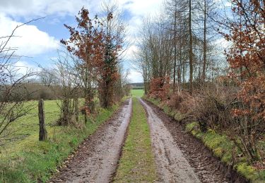
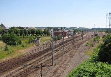
Merveilleux voyage en train tôt le matin dans brumes et lumières ardennaises;retour velo par petites routes bucoliques
Wandern
Wandern
Wandern

Mountainbike

Mountainbike
Wandern
Wandern
Wandern

Wandern