


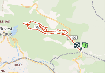


14,1 km | 21 km-effort

Benutzer


Kostenlosegpshiking-Anwendung
 SityTrail
IGN / Geografische Institute
SityTrail World
Die Welt öffnet sich für Sie
Tour Wandern von 9,7 km verfügbar auf Provence-Alpes-Côte d'Azur, Var, La Valette-du-Var. Diese Tour wird von Daniel.BRUN-PICARD vorgeschlagen.
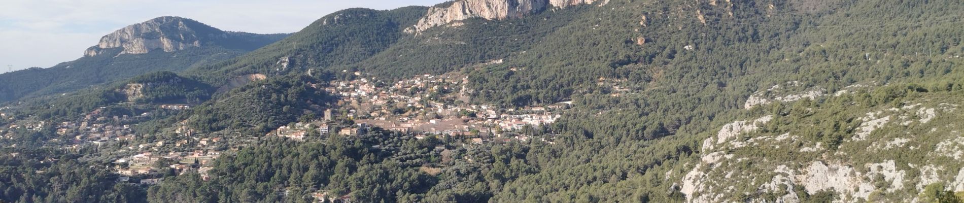
Randonnée découverte d'anciens villages et hameaux. Merci à l'animateur du Touring Club du Var qui nous a guidé et donné quelques explications historiques.


23 Fotos insgesamt. Klicken Sie auf ein Foto, um sie alle in der Galerie zu sehen.

Wandern

Wandern

Wandern

Wandern

Wandern

Wandern

Wandern

Wandern

Wandern