


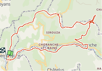

10,1 km | 22 km-effort

Benutzer


Kostenlosegpshiking-Anwendung
 SityTrail
IGN / Geografische Institute
SityTrail World
Die Welt öffnet sich für Sie
Tour Wandern von 15,7 km verfügbar auf Auvergne-Rhone-Alpen, Isère, Pont-en-Royans. Diese Tour wird von cousam vorgeschlagen.
Boucle par la cascade et la grotte Gournier,
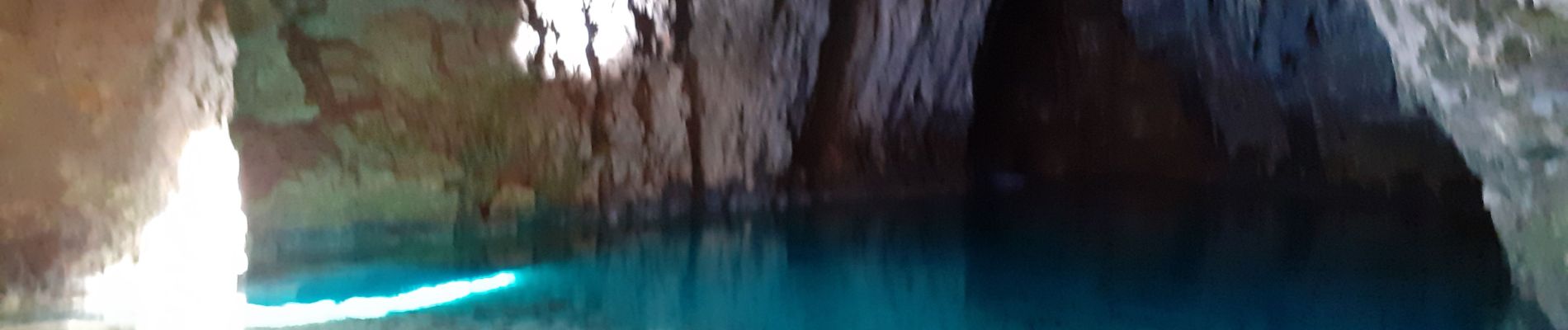
apres la grotte de la Balme rousse, passage avec une corde (attention aux cailloux qui peuvent rouler).
Suivre la falaise ,assez Rock n'Roll ,mais sympa ,jusqu'au KM 10.5


Wandern

Wandern

Wandern

Wandern

Wandern

Wandern

Wandern

Wandern

Wandern