


8,1 km | 9,8 km-effort


Benutzer


Kostenlosegpshiking-Anwendung
 SityTrail
IGN / Geografische Institute
SityTrail World
Die Welt öffnet sich für Sie
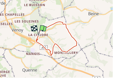
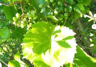
Tour Wandern von 11,2 km verfügbar auf Burgund und Freigrafschaft, Yonne, Venoy. Diese Tour wird von JMC89 vorgeschlagen.
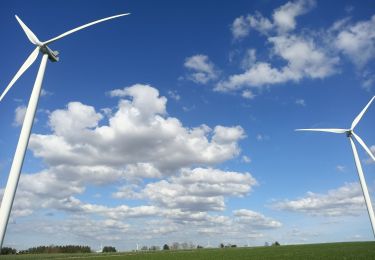
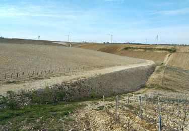
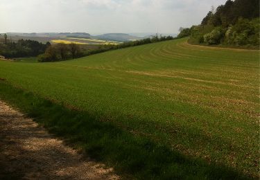
Départ du parking de la Coudre, Prendre direction Bleigny le carreaux et emprunter le GR 654 GR de pays des vins et fromages. Traverser la D965 et rejoindre le plateau des Noyers , continuer sur le plateau le long des éoliennes jusqu'à la route Beines-Montallery. Prendre direction Montallery sur la droite. Traverser Montalley et prendre direction Soleine. Traverser la D965 et tourner à la première route à gauche
Wandern
Wandern
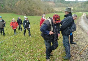
Wandern
Elektrofahrrad
Wandern
Wandern

Wandern
Wandern
Wandern