


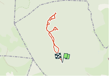

12,6 km | 16,7 km-effort

Benutzer


Kostenlosegpshiking-Anwendung
 SityTrail
IGN / Geografische Institute
SityTrail World
Die Welt öffnet sich für Sie
Tour Wandern von 8,5 km verfügbar auf Provence-Alpes-Côte d'Azur, Var, Solliès-Toucas. Diese Tour wird von chrifor vorgeschlagen.
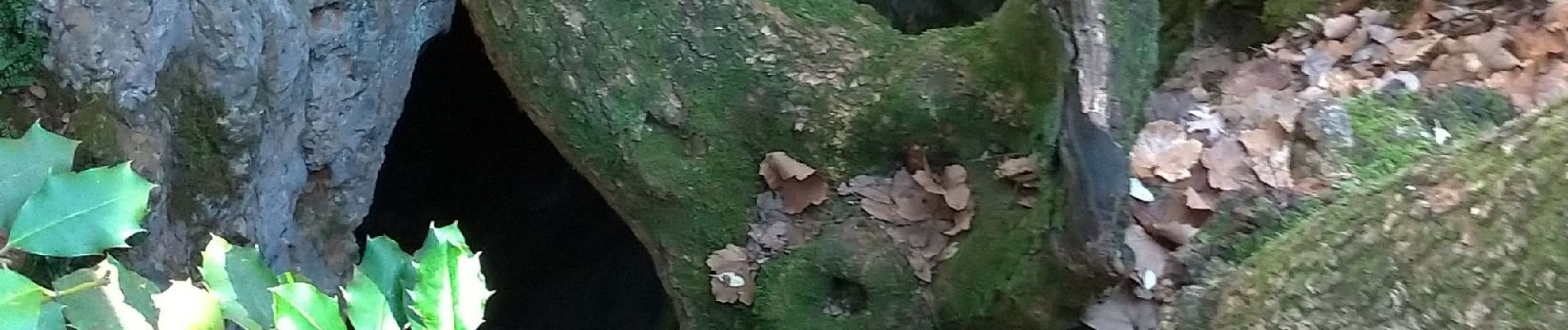
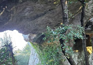
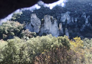
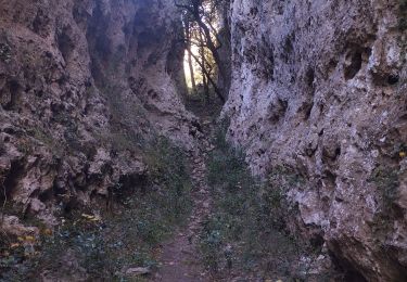
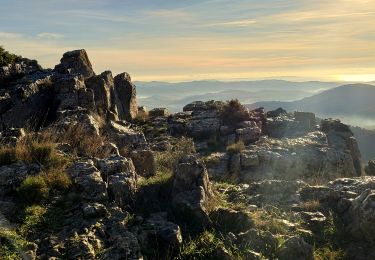
A la recherche des baumes des Enfers, des Lumes.., roches remarquables, Tête de la Marquise, hippopotame, arche, rocher des sambles...mais encore faut-il les trouver. Inventaire non exhaustif et parcours à compléter.
A découvrir par (beau) temps clair et sec.


Wandern
Wandern

Wandern

Wandern

Wandern

Wandern
Laufen
Pfad
Wandern