


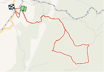

16,6 km | 23 km-effort

Benutzer


Kostenlosegpshiking-Anwendung
 SityTrail
IGN / Geografische Institute
SityTrail World
Die Welt öffnet sich für Sie
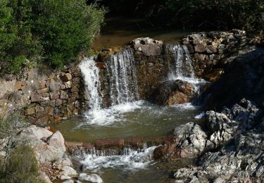
Tour Wandern von 7,3 km verfügbar auf Provence-Alpes-Côte d'Azur, Var, Fréjus. Diese Tour wird von cb8310 vorgeschlagen.
aller par de très larges pistes ,retour raccourci car un sentier figurant sur la carte IGN n'existe plus dans la réalité
retour par un sentier pierreux avec quelques descentes et montées un peu difficiles


Wandern

Wandern

Mountainbike

Wandern

Zu Fuß
Zu Fuß
Wandern
Wandern
Wandern