![](/images/other/stat-length.png)
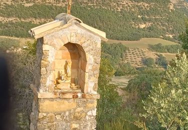
![Tour Wandern Mallemoisson - MALLEMOISSON . LES THUMINS . LE CHATEAU . MIRABEAU . CHAPELLE S PHILIPPE . N. EAU - Photo](https://media.geolcdn.com/t/1900/400/fa075058-6ed2-4835-9bce-3a241d712d49.jpg&format=pjpeg&maxdim=2)
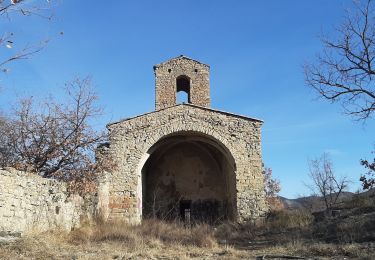
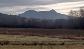
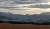
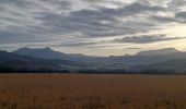
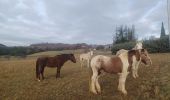
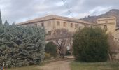
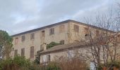
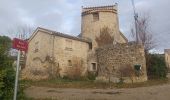
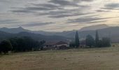
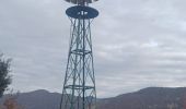
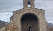
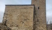
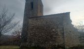
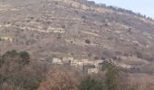
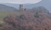
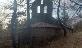
MALLEMOISSON . LES THUMINS . LE CHATEAU . MIRABEAU . CHAPELLE S PHILIPPE . N. EAU
RobinMicheline
Benutzer GUIDE
![Länge](/images/other/stat-length.png)
Länge
15,5 km
![Maximale Höhe](https://static1.geolcdn.com/siteimages/upload/files/1508320355ic_sort_altitude_max_24dp.png)
Maximale Höhe
798 m
![Positive Höhendifferenz](https://static1.geolcdn.com/siteimages/upload/files/1508320355ic_sort_den_pos_24dp.png)
Positive Höhendifferenz
482 m
![Km-Effort](/images/other/stat-length.png)
Km-Effort
22 km
![Min. Höhe](https://static1.geolcdn.com/siteimages/upload/files/1508320355ic_sort_altitude_min_24dp.png)
Min. Höhe
507 m
![Negative Höhendifferenz](https://static1.geolcdn.com/siteimages/upload/files/1508320355ic_sort_den_neg_24dp.png)
Negative Höhendifferenz
482 m
![Boucle](https://static1.geolcdn.com/siteimages/upload/files/16400158638029165_repeat_loop_refresh_sync_direction_icon.png)
Boucle
Ja
Erstellungsdatum :
2023-01-02 07:24:37.46
Letzte Änderung :
2023-01-02 17:28:58.45
![Wandern](https://static1.geolcdn.com/sitytour/trail-icons/101.png)
4h04
Schwierigkeit : Medium
![Scannen Sie diesen QR-Code, um die Tour in der SityTrail-Anwendung zu öffnen](https://capi.geolives.com/qq0zvz2zws4bq2lad0pu/sitytour/trails/3502561/qr.png?size=200)
Kostenlosegpshiking-Anwendung
Über SityTrail
Tour Wandern von 15,5 km verfügbar auf Provence-Alpes-Côte d'Azur, Alpes-de-Haute-Provence, Mallemoisson. Diese Tour wird von RobinMicheline vorgeschlagen.
Beschreibung
Long
Ort
Land:
France
Region :
Provence-Alpes-Côte d'Azur
Abteilung/Provinz :
Alpes-de-Haute-Provence
Kommune :
Mallemoisson
Standort:
Unknown
Gehen Sie:(Dec)
Gehen Sie:(UTM)
269753 ; 4880549 (32T) N.
Kommentare
Touren in der Umgebung
![Tour Wandern Le Chaffaut-Saint-Jurson - ESPINOUSSE . LES RAGOTS O L S - Photo](https://media.geolcdn.com/t/375/260/be64adbe-0b8d-4834-8b08-174d77c29be7.jpg&format=jpg&maxdim=2)
![Wandern Wandern](https://static1.geolcdn.com/sitytour/trail-icons/101.png)
ESPINOUSSE . LES RAGOTS O L S
Wandern
Einfach
Le Chaffaut-Saint-Jurson,
Provence-Alpes-Côte d'Azur,
Alpes-de-Haute-Provence,
France
![](/images/other/stat-length.png)
8 km | 12,6 km-effort
2h 12min
![](https://static1.geolcdn.com/siteimages/upload/files/16400158638029165_repeat_loop_refresh_sync_direction_icon.png)
Ja
![Tour Wandern Aiglun - AIGLUN. Le vieil Aiglun , sommet du Puy o l s - Photo](https://media.geolcdn.com/t/375/260/79f9a8c4-2d87-4650-b00f-e4d73efa9932.jpg&format=jpg&maxdim=2)
![Wandern Wandern](https://static1.geolcdn.com/sitytour/trail-icons/101.png)
AIGLUN. Le vieil Aiglun , sommet du Puy o l s
Wandern
Medium
Aiglun,
Provence-Alpes-Côte d'Azur,
Alpes-de-Haute-Provence,
France
![](/images/other/stat-length.png)
7 km | 11,9 km-effort
2h 14min
![](https://static1.geolcdn.com/siteimages/upload/files/16400158638029165_repeat_loop_refresh_sync_direction_icon.png)
Ja
![Tour Wandern Mirabeau - MIRABEAU Ravin de Barbarrine , Bastide Blanche , le Ruth , Col des Penitents , la Colette , o l - Photo](https://media.geolcdn.com/t/375/260/30d4dbc9-7161-414d-8349-8cc15cb6dbbd.jpg&format=jpg&maxdim=2)
![Wandern Wandern](https://static1.geolcdn.com/sitytour/trail-icons/101.png)
MIRABEAU Ravin de Barbarrine , Bastide Blanche , le Ruth , Col des Penitents ...
Wandern
Medium
Mirabeau,
Provence-Alpes-Côte d'Azur,
Alpes-de-Haute-Provence,
France
![](/images/other/stat-length.png)
15,5 km | 23 km-effort
3h 59min
![](https://static1.geolcdn.com/siteimages/upload/files/16400158638029165_repeat_loop_refresh_sync_direction_icon.png)
Ja
![Tour Wandern Mirabeau - MALIJAI . CHAPELLE S CHRISTOL . CHAPELLE S PHILIPPE . RAVIN DES SAUVEES N - Photo](https://media.geolcdn.com/t/375/260/2db39e85-2b02-4a81-aa4c-2db148d80f70.jpg&format=jpg&maxdim=2)
![Wandern Wandern](https://static1.geolcdn.com/sitytour/trail-icons/101.png)
MALIJAI . CHAPELLE S CHRISTOL . CHAPELLE S PHILIPPE . RAVIN DES SAUVEES N
Wandern
Medium
Mirabeau,
Provence-Alpes-Côte d'Azur,
Alpes-de-Haute-Provence,
France
![](/images/other/stat-length.png)
12,9 km | 18,8 km-effort
3h 48min
![](https://static1.geolcdn.com/siteimages/upload/files/16400158638029165_repeat_loop_refresh_sync_direction_icon.png)
Ja
![Tour Wandern Mallemoisson - MALLEMOISSON . A LA DÉCOUVERTE DE MALLEMOISSON . N - Photo](https://media.geolcdn.com/t/375/260/9bf7e860-0303-464c-9f50-bd1deaa68b13.jpg&format=jpg&maxdim=2)
![Wandern Wandern](https://static1.geolcdn.com/sitytour/trail-icons/101.png)
MALLEMOISSON . A LA DÉCOUVERTE DE MALLEMOISSON . N
Wandern
Medium
Mallemoisson,
Provence-Alpes-Côte d'Azur,
Alpes-de-Haute-Provence,
France
![](/images/other/stat-length.png)
11,1 km | 15,1 km-effort
3h 4min
![](https://static1.geolcdn.com/siteimages/upload/files/16400158638029165_repeat_loop_refresh_sync_direction_icon.png)
Ja
![Tour Wandern Mirabeau - MIRABEAU . LE CHATEAU . COL DES PENITENTS . AR . o n - Photo](https://media.geolcdn.com/t/375/260/e3b7af75-4f64-4969-8552-3362ae96577a.jpg&format=jpg&maxdim=2)
![Wandern Wandern](https://static1.geolcdn.com/sitytour/trail-icons/101.png)
MIRABEAU . LE CHATEAU . COL DES PENITENTS . AR . o n
Wandern
Medium
Mirabeau,
Provence-Alpes-Côte d'Azur,
Alpes-de-Haute-Provence,
France
![](/images/other/stat-length.png)
13 km | 17,4 km-effort
3h 22min
![](https://static1.geolcdn.com/siteimages/upload/files/16400158638029165_repeat_loop_refresh_sync_direction_icon.png)
Nein
![Tour Wandern Mirabeau - Le Tour de Sr Philippe - Photo](https://media.geolcdn.com/t/375/260/79bc6e0f-b49e-48dc-a8ca-962012965786.jpg&format=jpg&maxdim=2)
![Wandern Wandern](https://static1.geolcdn.com/sitytour/trail-icons/101.png)
Le Tour de Sr Philippe
Wandern
Mirabeau,
Provence-Alpes-Côte d'Azur,
Alpes-de-Haute-Provence,
France
![](/images/other/stat-length.png)
11,5 km | 16,8 km-effort
4h 24min
![](https://static1.geolcdn.com/siteimages/upload/files/16400158638029165_repeat_loop_refresh_sync_direction_icon.png)
Ja
![Tour Mountainbike Mirabeau - Mirabosse 2013 - Photo](https://media.geolcdn.com/t/375/260/ext.jpg?maxdim=2&url=https%3A%2F%2Fstatic1.geolcdn.com%2Fsiteimages%2Fupload%2Ffiles%2F1524743154velo.jpg)
![Mountainbike Mountainbike](https://static1.geolcdn.com/sitytour/trail-icons/202.png)
Mirabosse 2013
Mountainbike
Medium
(2)
Mirabeau,
Provence-Alpes-Côte d'Azur,
Alpes-de-Haute-Provence,
France
![](/images/other/stat-length.png)
16,9 km | 25 km-effort
1h 36min
![](https://static1.geolcdn.com/siteimages/upload/files/16400158638029165_repeat_loop_refresh_sync_direction_icon.png)
Ja
![Tour Mountainbike Mallemoisson - rando verdon - Photo](https://media.geolcdn.com/t/375/260/656ca98a-59b7-4479-9ce7-e976f9a803de.jpg&format=jpg&maxdim=2)
![Mountainbike Mountainbike](https://static1.geolcdn.com/sitytour/trail-icons/202.png)
rando verdon
Mountainbike
Sehr schwierig
Mallemoisson,
Provence-Alpes-Côte d'Azur,
Alpes-de-Haute-Provence,
France
![](/images/other/stat-length.png)
194 km | 259 km-effort
10h 41min
![](https://static1.geolcdn.com/siteimages/upload/files/16400158638029165_repeat_loop_refresh_sync_direction_icon.png)
Ja