


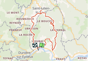

22 km | 33 km-effort


Benutzer


Kostenlosegpshiking-Anwendung
 SityTrail
IGN / Geografische Institute
SityTrail World
Die Welt öffnet sich für Sie
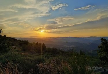
Tour Wandern von 18,8 km verfügbar auf Auvergne-Rhone-Alpen, Ardèche, Saint-Fortunat-sur-Eyrieux. Diese Tour wird von Chamois30 vorgeschlagen.
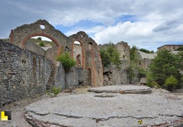
A/R au hameau de St julien le Roux pour le pic-nique.
fortes côtes à la montée à St Julien.
Une au départ de St Fortunat, l'autre un peu avant l'arrivée à St Julien
Wandern
Wandern
Rennrad
Wandern
Wandern
Wandern
Wandern
Wandern

Wandern