


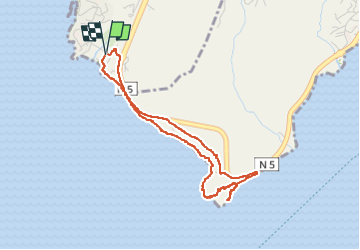


3,9 km | 4,4 km-effort


Benutzer GUIDE


Kostenlosegpshiking-Anwendung
 SityTrail
IGN / Geografische Institute
SityTrail World
Die Welt öffnet sich für Sie
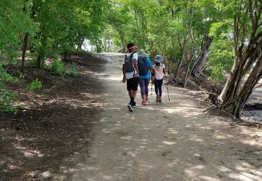
Tour Wandern von 5,7 km verfügbar auf Martinique, Unbekannt, Rivière-Pilote. Diese Tour wird von GabyG vorgeschlagen.
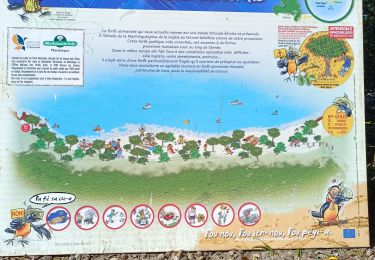
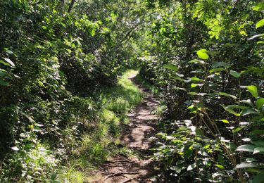
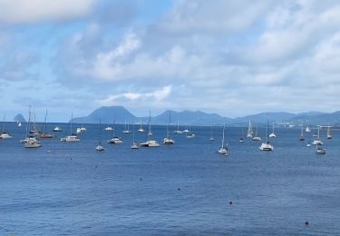
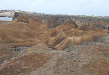
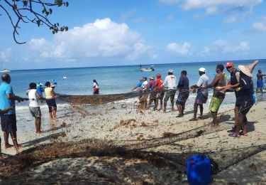
grande aventure plein Sud et escapade dans les massifs du morne aca. en boucle de Anse figuier, pointe Borgnèse, petite poterie cotes rocheuses et plages.


Wandern
Wandern
Wandern
Wandern
Wandern
Wandern
Wandern
Wandern
Wandern