


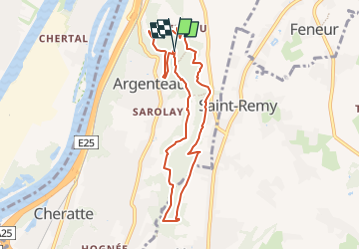

10,9 km | 12,6 km-effort


Benutzer GUIDE


Kostenlosegpshiking-Anwendung
 SityTrail
IGN / Geografische Institute
SityTrail World
Die Welt öffnet sich für Sie
Tour Wandern von 7,3 km verfügbar auf Wallonien, Lüttich, Weset. Diese Tour wird von mumu.larandonneuse vorgeschlagen.
Dans le Domaine de la Julienne, autour des étangs, dans les bois (Bois-le-Duc et Vert Bois) et le long du ruisseau Ste Julienne.


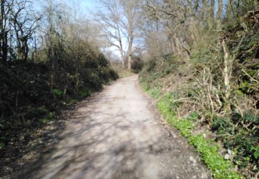
Wandern

Wandern

Wandern

Wandern

Wandern
Wandern

Wandern
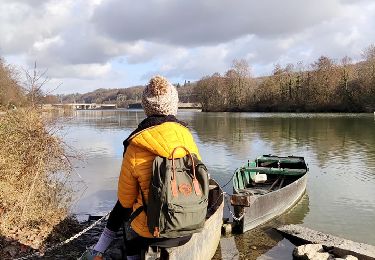
Faite avec Luna 🐕