


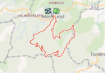

11,9 km | 17,5 km-effort


Benutzer


Kostenlosegpshiking-Anwendung
 SityTrail
IGN / Geografische Institute
SityTrail World
Die Welt öffnet sich für Sie
Tour Wandern von 11,3 km verfügbar auf Okzitanien, Ostpyrenäen, Montauriol. Diese Tour wird von Santblasi vorgeschlagen.
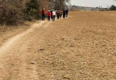
balade dans les Aspres sur pistes DFCI, routes et sentiers.
une descente très pentue crevassée.
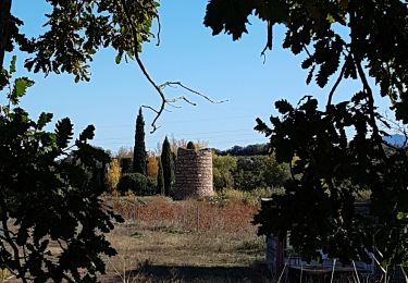
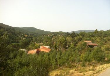
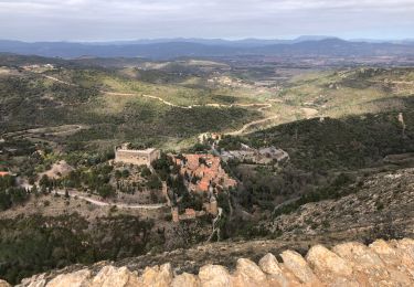
De très belles vues, parfois à 360 degrés.

Wandern

Wandern
Wandern
Wandern

Wandern
Wandern

Wandern
Wandern
Wandern
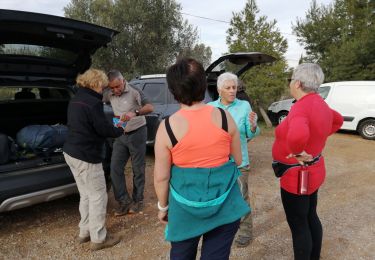
Agréable randonnée.