


20 km | 28 km-effort

Benutzer


Kostenlosegpshiking-Anwendung
 SityTrail
IGN / Geografische Institute
SityTrail World
Die Welt öffnet sich für Sie
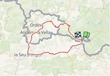
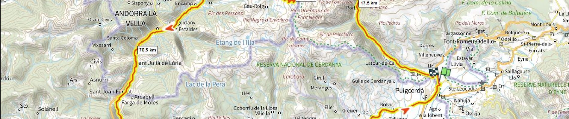
Tour Rennrad von 137 km verfügbar auf Okzitanien, Ostpyrenäen, Ur. Diese Tour wird von ericberlin vorgeschlagen.
Boucle tri-nationale faite plus jeune par le Port d' Envalira 2408m (le plus haut col routier des Pyrennées) et la Seu d'Orgell.
Partis très tôt le matin pour éviter la circulation intense.


Wandern

Wandern

Wandern
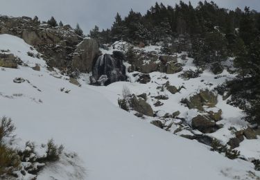
Schneeschuhwandern
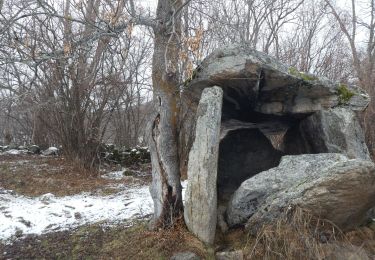
Wandern
Wandern
Wandern