


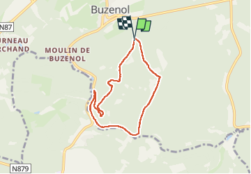

22 km | 27 km-effort

Passion Nature Contemplation


Kostenlosegpshiking-Anwendung
 SityTrail
IGN / Geografische Institute
SityTrail World
Die Welt öffnet sich für Sie
Tour Wandern von 6,1 km verfügbar auf Wallonien, Luxemburg, Étalle. Diese Tour wird von Gaume tranquille vorgeschlagen.
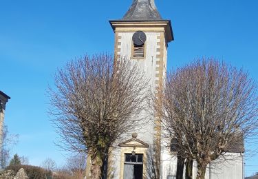
venant de Chantemelle à l'entrée de Buzenol à gauche, une petite route vers la foret permet de se garer .

Mountainbike
Wandern

Wandern

Wandern
Wandern

Zu Fuß

Zu Fuß

Zu Fuß
Wandern