


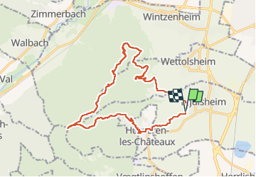


11,7 km | 17,7 km-effort


Benutzer


Kostenlosegpshiking-Anwendung
 SityTrail
IGN / Geografische Institute
SityTrail World
Die Welt öffnet sich für Sie
Tour Wandern von 18,4 km verfügbar auf Großer Osten, Oberelsass, Egisheim. Diese Tour wird von Ko-Rando vorgeschlagen.
Superbe rando. Sentiers faciles, pas trop escarpés.


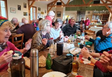
25 Fotos insgesamt. Klicken Sie auf ein Foto, um sie alle in der Galerie zu sehen.

Wandern

Wandern

Wandern

Laufen

Mountainbike

Wandern
Wandern
Wandern

Wandern