


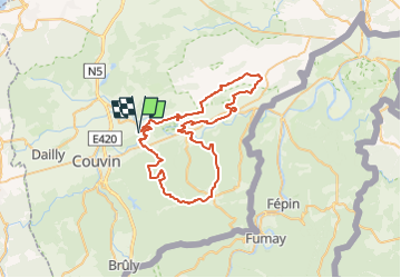

21 km | 26 km-effort

Benutzer GUIDE


Kostenlosegpshiking-Anwendung
 SityTrail
IGN / Geografische Institute
SityTrail World
Die Welt öffnet sich für Sie
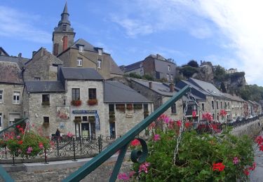
Tour Mountainbike von 56 km verfügbar auf Wallonien, Namur, Viroinval. Diese Tour wird von pascalou73 vorgeschlagen.
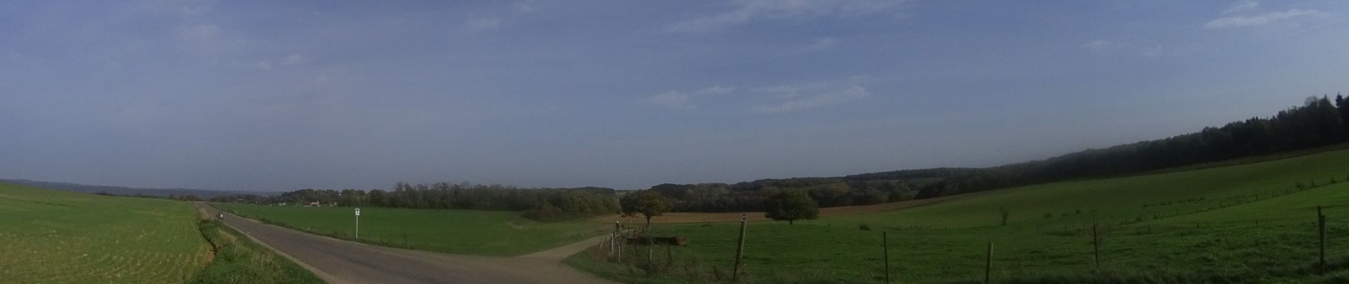
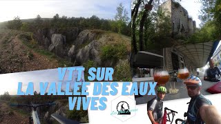
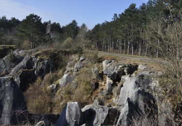
Voilà une randonnée VTT au départ du village de Nîmes sur la vallée des eaux vives. une très belle randonnée entre les points de vue et les châteaux et les très beaux villages de la région .ont découvert.
 - Photo 2")
 - Photo 3")
 - Photo 4")
 - Photo 5")
 - Photo 6")
 - Photo 7")
 - Photo 8")
 - Photo 9")
 - Photo 10")
 - Photo 11")
 - Photo 12")
 - Photo 13")
 - Photo 14")
 - Photo 15")
 - Photo 16")
Wandern

Wandern
Wandern

Fahrrad

Wandern
Wandern

Wandern

Wandern

Nordic Walking