


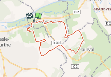


7,7 km | 8,6 km-effort


Benutzer


Kostenlosegpshiking-Anwendung
 SityTrail
IGN / Geografische Institute
SityTrail World
Die Welt öffnet sich für Sie
Tour Nordic Walking von 8,1 km verfügbar auf Großer Osten, Mörthe und Mosel, Sommerviller. Diese Tour wird von DanielROLLET vorgeschlagen.
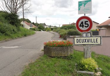
2022 10 24 MND - Saulxures 18 participants avec Jacky.
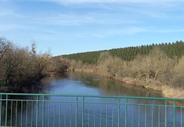
Beau temps doux
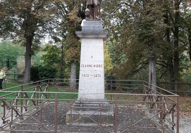
Cueillette mirabelles tardives... et champignons.
Zu Fuß
Elektrofahrrad
Wandern
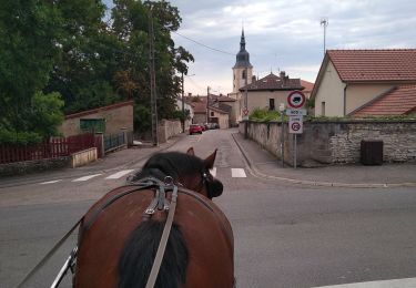
Kutsche fahren

Wandern

Mountainbike

Wandern

Nordic Walking
Nordic Walking