


25 km | 34 km-effort


Benutzer


Kostenlosegpshiking-Anwendung
 SityTrail
IGN / Geografische Institute
SityTrail World
Die Welt öffnet sich für Sie
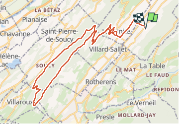
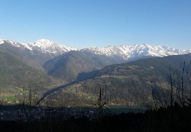
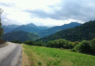
Tour Reiten von 26 km verfügbar auf Auvergne-Rhone-Alpen, Savoyen, Villard-Léger. Diese Tour wird von xhakon vorgeschlagen.
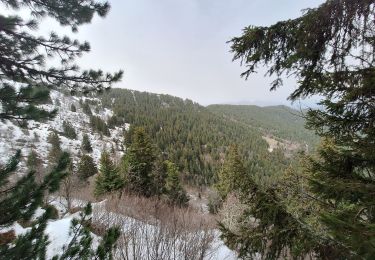
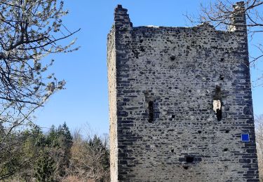
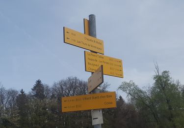
Aller-retour de Villard-Léger aux Tours Montmailleur, puis boucle entre crête et flanc Nord-Ouest de la forêt de Montraillant.
Chemins forestiers et sentiers de montagne parfois techniques, mais montées, descentes et replats qui s'enchaînent, avec de très beaux points de vue.
Terrains variés, ok pour pieds nus si habitué durée et passages caillouteux.
Réalisé par Carine, Charlotte, Anne-Camille.

Mountainbike
Wandern
Wandern
Wandern
Mountainbike
Fahrrad
Mountainbike
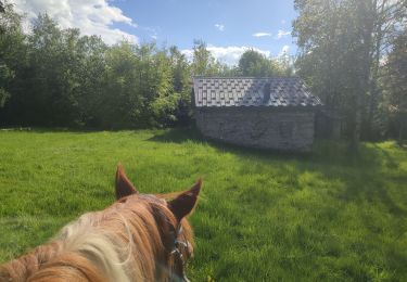
Reiten
Wandern