


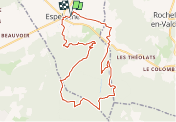

7,3 km | 10,3 km-effort


Benutzer GUIDE


Kostenlosegpshiking-Anwendung
 SityTrail
IGN / Geografische Institute
SityTrail World
Die Welt öffnet sich für Sie
Tour Wandern von 11,3 km verfügbar auf Auvergne-Rhone-Alpen, Drôme, Espeluche. Diese Tour wird von chancha vorgeschlagen.
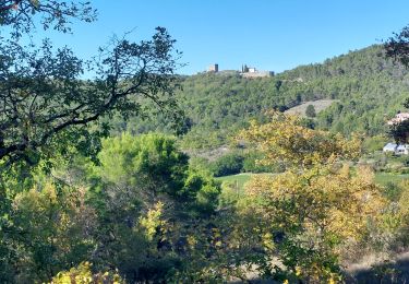
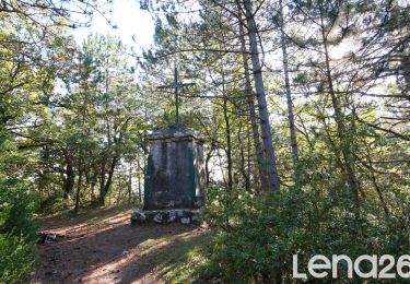
Entre chemins forestiers et sentiers en crête , le bois Jamot offre de jolis points de vue sur le château medieval de Rochefort-en-Valdaine ainsi que la vallée du Rhône . Une randonnée accessible et majoritairement ombragée .


Wandern

Wandern

Wandern

Mountainbike

Wandern

Wandern
Wandern
Wandern

Wandern