


32 km | 40 km-effort


Benutzer


Kostenlosegpshiking-Anwendung
 SityTrail
IGN / Geografische Institute
SityTrail World
Die Welt öffnet sich für Sie
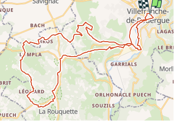
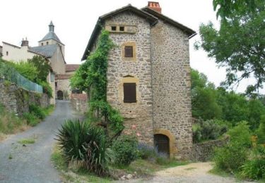
Tour Mountainbike von 29 km verfügbar auf Okzitanien, Aveyron, Villefranche-de-Rouergue. Diese Tour wird von Levillefranchois vorgeschlagen.
Parcours interessant de 30km pour 650 D positif.
Départ depuis la Halle de Villefranche de Rouergue (Parking)

Hybrid-Bike

Wandern
Rennrad
Wandern
Wandern
Fahrrad
Fahrrad
Mountainbike
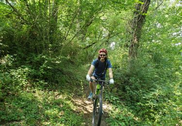
Mountainbike